Font Size
Change background color

History and Culture

China made changes to its maps after 1971

1960 – 1972
China made changes to its maps after 1971

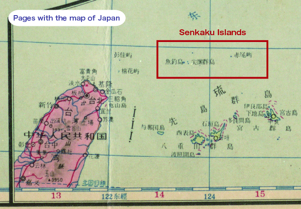
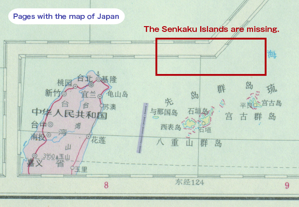
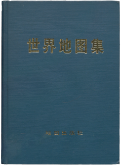
The 1960 edition of the World Atlas Collection, published by the China Cartographic Publishing House (a publisher under the direct jurisdiction of China’s State Bureau of Surveying and Mapping), printed the Senkaku Islands on the pages for the map of Japan. However, these were removed from the pages for the map of Japan in the same collection published in 1972.

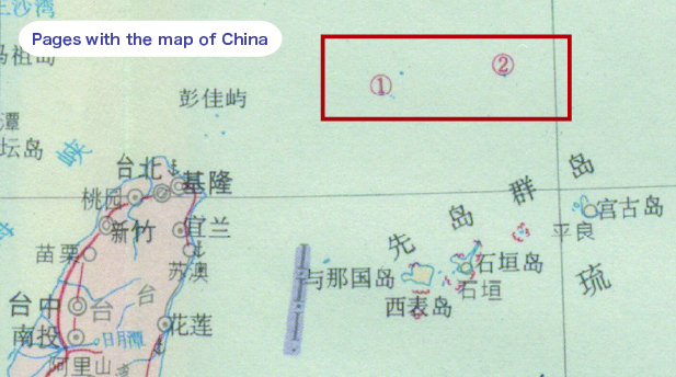
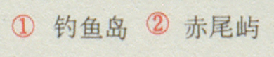
The 1972 edition of the map included the new addition of “Diaoyu Island,” etc. on the pages covering the map of China.

1960 edition of Pages with the map of Japan
1960 edition of the World Atlas Collection
1960 edition 1960 edition of the World Atlas Collection
From an individual donor
The pages with the map of Japan included the Senkaku Islands
1972 edition of Pages with the map of Japan 1972 edition of Pages with the map of China
1972 edition of the World Atlas Collection
1972 edition 1972 edition of the World Atlas Collection
The Senkaku Islands removed from the pages with the map of Japan New inclusion of “Diaoyu Islands,” etc. in the pages with the map of China “Diaoyu Islands,” etc.