Font Size
Change background color

History and Culture

Background of the incorporation of the Senkaku Islands into Japan’s territory

Until the second half of the 19th century, the Senkaku Islands were uninhabited islands around the Ryukyu Islands ruled by no country.

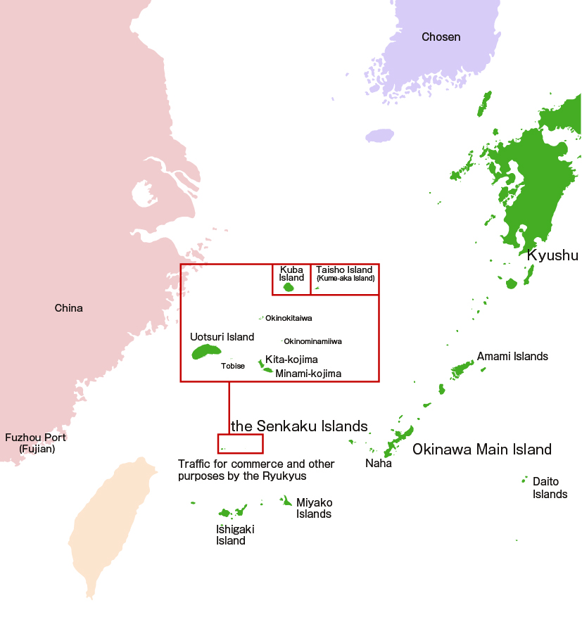
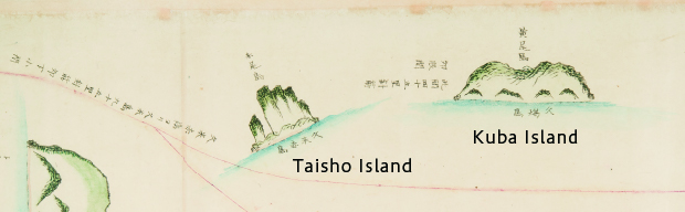
The Senkaku Islands were used as a navigation marker by vessels passing through the East China Sea. The existence of the islands had long been known, as they appeared in documents and nautical charts of the Ryukyu Dynasty.

However, the Senkaku Islands, which were uninhabited, were never administered by any other country before Japan incorporated them into its territory in 1895.

In addition, in the Edo Period (1603–1867), although the Ryukyu Dynasty continued to pay tribute to the Qing Dynasty, the Ryukyu Dynasty was under the rule of Satsuma Domain, and the Edo Shogunate regarded the Ryukyu Islands as part of Satsuma Domain.

After the Meiji Restoration, the Ryukyu Dynasty became the Ryukyu Domain in 1872, which made clear its affiliation to Japan, and it subsequently became Okinawa Prefecture in 1879.

Background of the incorporation of the Senkaku Islands into Japan’s territory
Scroll of the Ryukyus depicting a navigation route

This is a scroll that depicts a navigation route between Naha Port in the Ryukyu Dynasty and Fuzhou Port in China (year of production unknown.). The route in this scroll indicates that vessels departed from Fuzhou Port, travelled through Uotsuri Island, Kuba Island, Kume-aka (Taisho) Island, and Kume Island, and reached Naha Port.

The Senkaku Islands also appear in Chinese records such as the records by Chinese Envoys of the Ming and Qing Dynasties. What is noteworthy about this scroll is the writing of the island names, with the names used in the records of Chinese Envoys (e.g. Kobi-sho) shown above, and the names used in the Ryukyus (e.g. Kuba Island) shown below.

Tobin Koukaizu [Repository] Okinawa Prefectural Museum and Art Museum (Tobin Koukaizu)